ENVIRONMENT CANADA
*************************
Special weather statement in effect for:
- Barrie - Collingwood - Hillsdale
- Midland - Coldwater - Orr Lake
- Orillia - Lagoon City - Washago
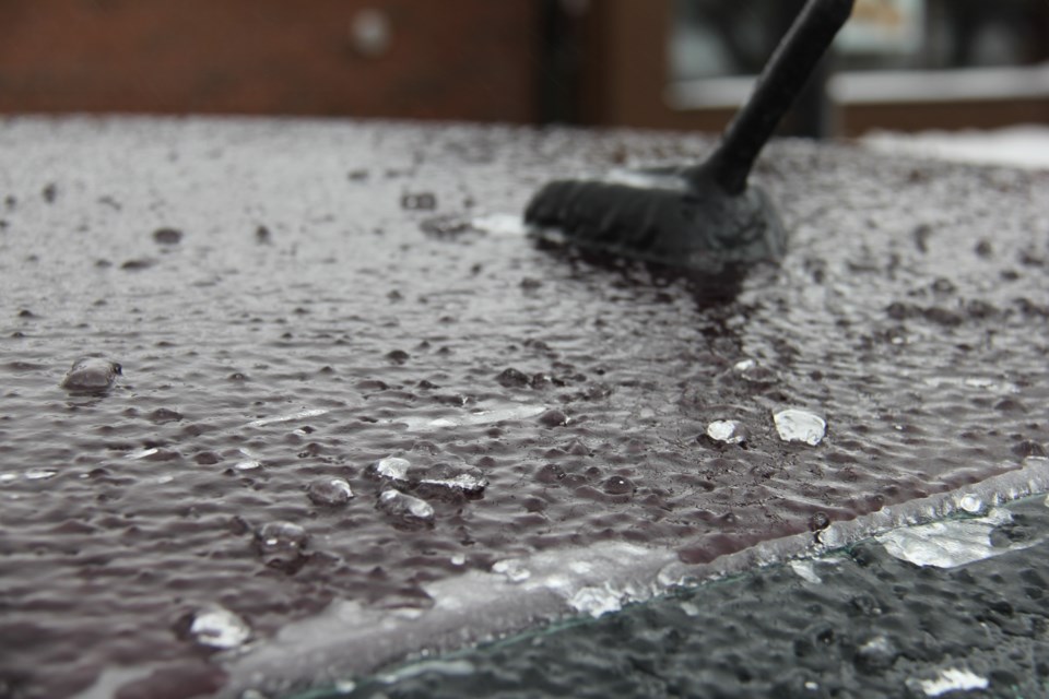
Freezing rain possible Tuesday night into Wednesday morning.
Precipitation associated with a Colorado low pressure system will spread over central Ontario beginning Tuesday afternoon. The precipitation will likely start off as a little wet snow or rain, but may change to freezing rain Tuesday night. There is potential for several hours of freezing rain lasting into Wednesday morning.
Snowfall amounts will be likely limited to a couple cm or less, as most of the precipitation will fall as rain or freezing rain. Much heavier snow is expected to the north of this region where winter storm warnings are in effect.
However, there is still some uncertainty as to the exact track of the low pressure area. A small deviation in the track will easily affect how much rain or freezing rain falls in a locality.
Hazardous winter driving conditions on untreated roads are quite possible. Warnings may be required as this event draws closer.
Please continue to monitor alerts and forecasts issued by Environment Canada. To report severe weather, send an email to ec.cpio-tempetes-ospc-storms.ec@canada.ca or tweet reports using #ONStorm.
*************************


