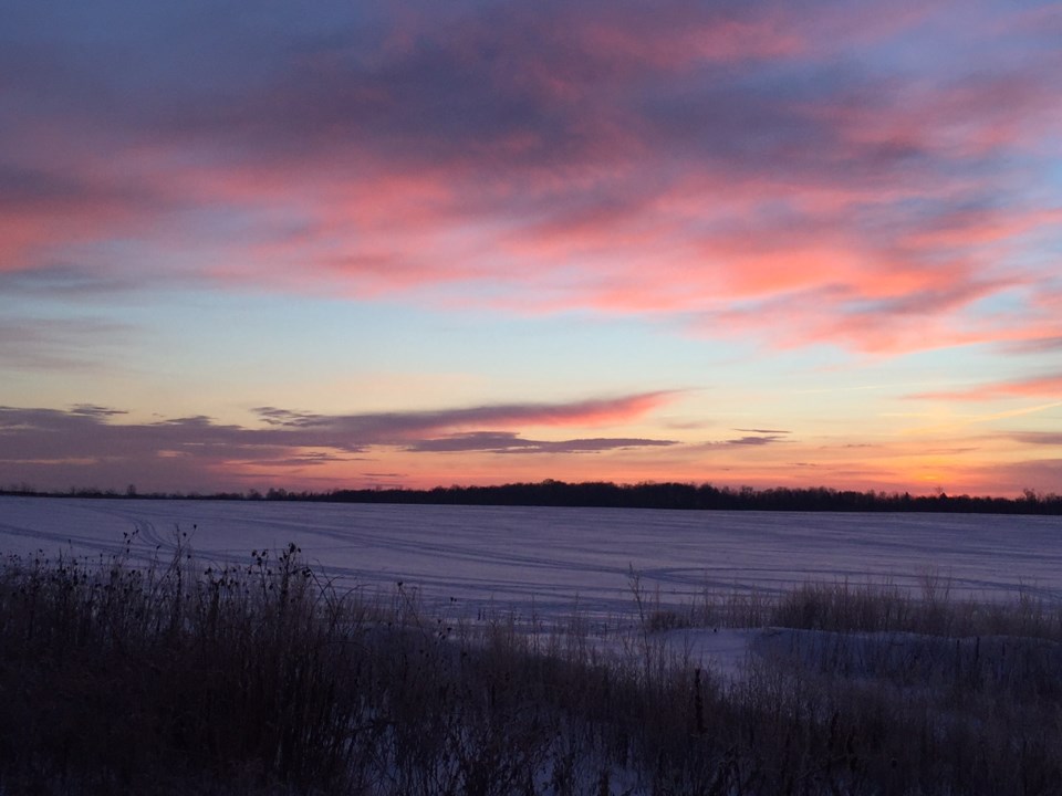
Windchill of -32 this morning!
We are under a snow squall warning with flurries and squalls today, 5 to 10 cm, winds gusting to 40 km/h, the high -11.
Partly cloudy tonight, chance of flurries and the low -13.
Friday looks cloudy, flurries, windy and the high -6.
Saturday falls into deep freeze territory with the high forecast of -19, chance of flurries or squalls.
Sunday the high -13 with a mix of sun and cloud.
School buses are cancelled due to the weather in the West Zone, Collingwood, Stayner, Wasaga Beach.
Here is the snowquall warning from Environment Canada:
Warnings
Snow squall warning in effect for:
- Barrie - Collingwood - Hillsdale
Lake effect flurries and local snow squalls are expected to continue early this morning.
Under the snow squall bands, visibilities will be reduced to near zero at times in heavy snow and local blowing snow.
Snowfall amounts of 5 to 10 cm will be possible.
Prepare for quickly changing and deteriorating travel conditions.
Travel is expected to be hazardous due to reduced visibility in some locations.
Rapidly accumulating snow could make travel difficult over some locations.
Please continue to monitor alerts and forecasts issued by Environment Canada.
To report severe weather, send an email to storm.ontario@ec.gc.ca or tweet reports to #ONStorm.


