ENVIRONMENT CANADA
**************************
Snowfall warning in effect for:
- Barrie - Collingwood - Hillsdale
- Midland - Coldwater - Orr Lake
- Orillia - Lagoon City - Washago
Snowfall with total amounts of about 15 cm is expected.
Significant snowfall expected tonight.
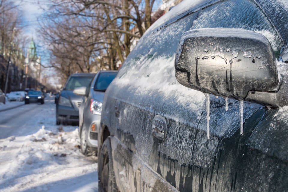
Snow at times heavy will start this evening. Total snowfall amounts near 15 cm are expected by Wednesday morning. The snow will change over to rain in the afternoon with the passage of a warm front. Risk of freezing rain is also possible during the transition.
This significant snowfall is associated with a Colorado low tracking northeast across Lake Huron and Georgian Bay Wednesday.
Be prepared to adjust your driving with changing road conditions. Rapidly accumulating snow will make travel difficult. Visibility may be suddenly reduced at times in heavy snow.
Snowfall warnings are issued when significant snowfall is expected.
Please continue to monitor alerts and forecasts issued by Environment Canada. To report severe weather, send an email to [email protected] or tweet reports using #ONStorm.
Special weather statement in effect for:
- Barrie - Collingwood - Hillsdale
- Midland - Coldwater - Orr Lake
- Orillia - Lagoon City - Washago
Snow tonight with risk of freezing rain Wednesday then a brief thaw with strong winds and rain.
A Colorado low will track northeast across Lake Huron and Georgian Bay Wednesday, bringing a dramatic change in weather with it.
A band of snow will move through the regions tonight. Snowfall amounts will be in the 5 to 10 cm except near 15 cm over areas from Saugeen Shores to Orillia, where a snowfall warning is issued. The snow will change over to rain in the afternoon with the passage of a warm front. Risk of freezing rain is also possible during the transition.
A brief thaw will arrive with temperatures soaring to at least a couple degrees above freezing.
Strong southwesterly winds gusting to 70 or 80 km/h are also expected later Wednesday.
Environment Canada is closely monitoring this situation. Freezing rain warnings may be required as this event draws closer.
Please continue to monitor alerts and forecasts issued by Environment Canada. To report severe weather, send an email to [email protected] or tweet reports using #ONStorm.
**************************

