WEATHER ALERT
ENVIRONMENT CANADA
*************************
Issued at 2024-01-11 2:24 p.m. by Environment Canada:
Winter storm watch issued for:
Newmarket - Georgina - Northern York Region
Barrie - Orillia - Midland
Owen Sound - Blue Mountains - Northern Grey County
Listowel - Milverton - Northern Perth County
Waterloo - Wellington
Innisfil - New Tecumseth - Angus
Current details:
A winter storm expected Friday night into Saturday.
Hazards:
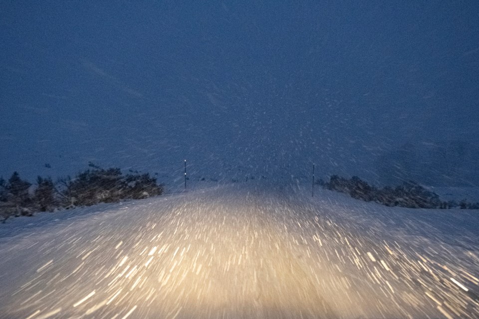
Heavy snow. Total snowfall accumulations of 10 to 25 cm possible.
Peak snowfall rates of 2 to 5 cm.
Strong wind gusts will result in areas of blowing snow.
Timing:
Friday evening to Saturday morning.
Discussion:
While the prospects for a winter storm are high, uncertainty exists regarding the exact track of this system. The details of the track will greatly affect precipitation type and amounts at any given location. The heaviest snowfall is expected Friday night. Snow in combination with gusty winds will result in areas of blowing snow and greatly reduced visibility.
Rapidly accumulating snow could make travel difficult over some locations. Surfaces such as highways, roads, walkways and parking lots may become icy and slippery.
Avoid travel if possible.
Please continue to monitor alerts and forecasts issued by Environment Canada. To report severe weather, send an email to [email protected] or tweet reports using #ONStorm.
*************************


