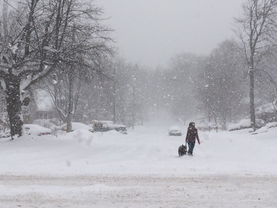
Snow squall watch in effect.
Periods of snow ending near noon then cloudy, 60 percent chance of flurries, local amount 2 to 4 cm. Wind gusting to 50 km/h this morning and the temperature steady near zero.
Here are the details of the snow squall watch issued by Environment Canada:
4:49 AM EST Thursday 26 January 2017
Snow squall watch in effect for:
- Barrie - Collingwood - Hillsdale
- Midland - Coldwater - Orr Lake
- Orillia - Lagoon City - Washago
Snow squalls are expected to develop.
Under the snow squall bands, visibilities will be significantly reduced due to the heavy snow, and snow will quickly accumulate.
Conditions are expected to become favourable for the development of snow squalls beginning late this evening.
Local snowfall amounts of 15 cm in 12 hours will be possible under the most intense snow squalls.
The potential for snow squalls will continue into the weekend.
Travel may be hazardous due to sudden changes in the weather.
Visibility may be suddenly reduced at times in heavy snow.
Public Safety Canada encourages everyone to make an emergency plan and get an emergency kit with drinking water, food, medicine, a first-aid kit and a flashlight.
Snow squall watches are issued when conditions are favourable for the formation of bands of snow that could produce intense accumulating snow or near zero visibilities.
Please continue to monitor alerts and forecasts issued by Environment Canada. To report severe weather, send an email to [email protected] or tweet reports to #ONStorm.


